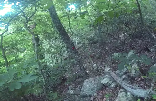
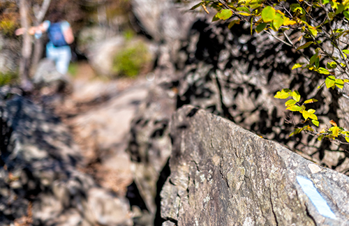
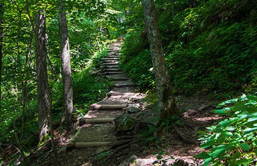
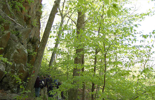
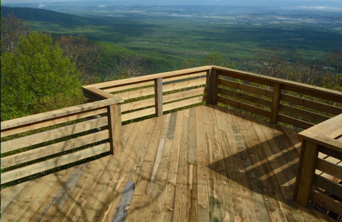
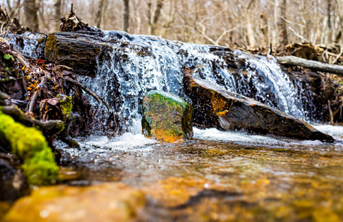
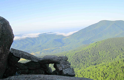
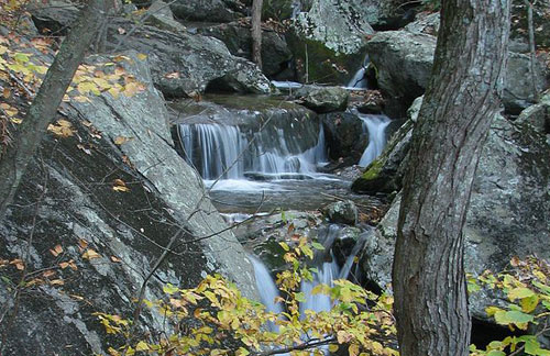
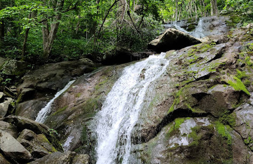
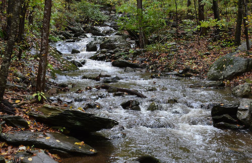
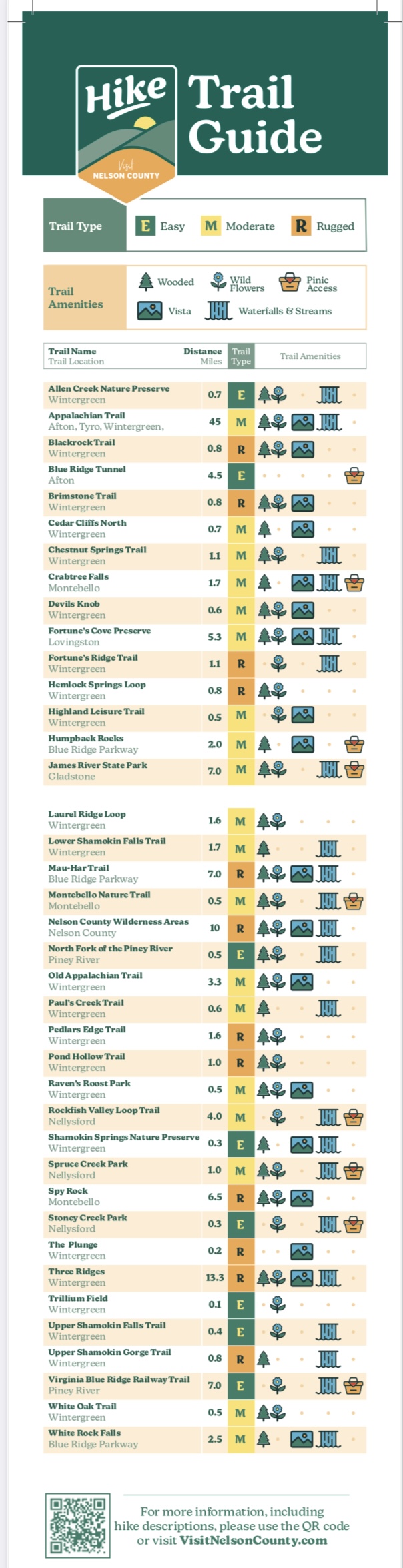
Hikers can follow the Appalachian Trail along the western portion of the county, climb a short, but steep hike to incredible valley views at Humpback Rock, and explore the Blue Ridge Parkway hikes including White Rock Falls and the Mau-Har Trail.
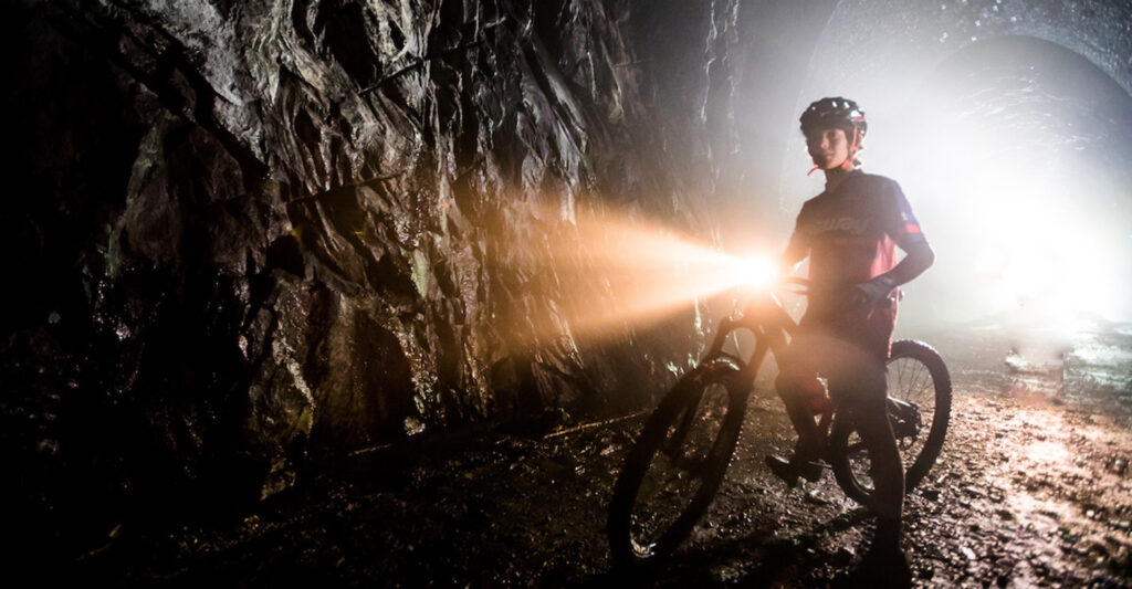
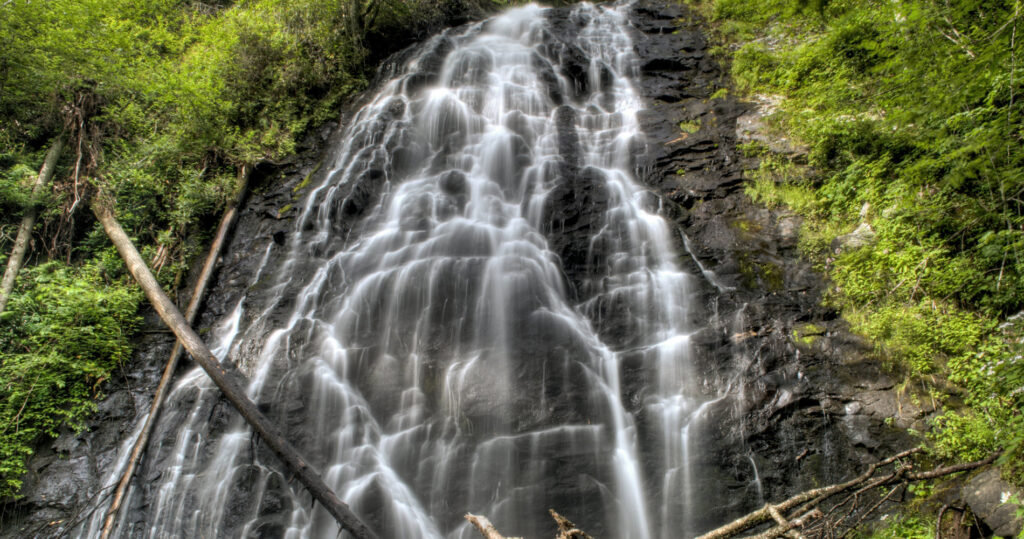
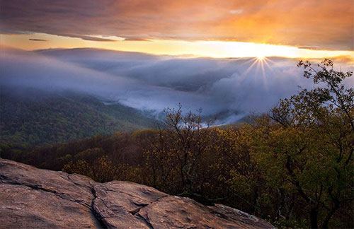
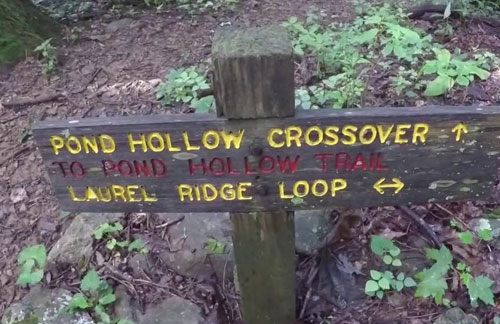
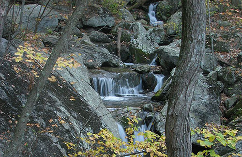
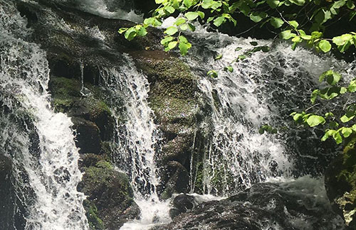
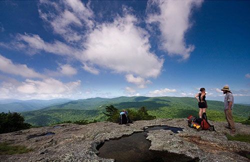
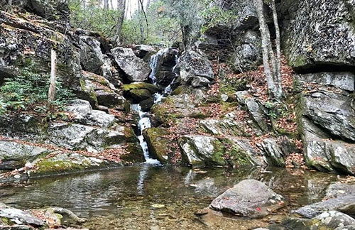
Visit the popular Crabtree Falls and find 360 degree views at Spy Rock. Explore the Blue Ridge Tunnel and learn about the history of the railway that goes back to 1850!
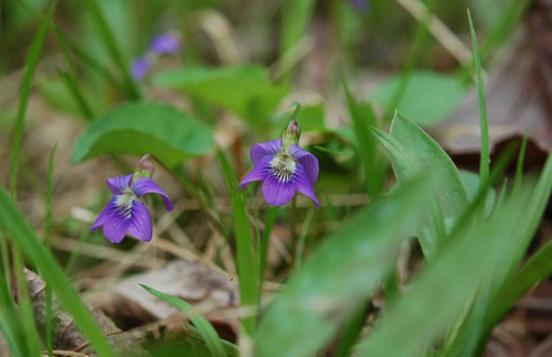
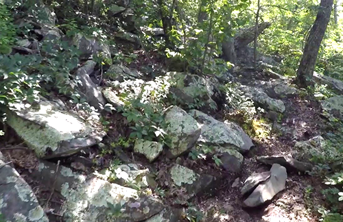
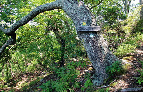
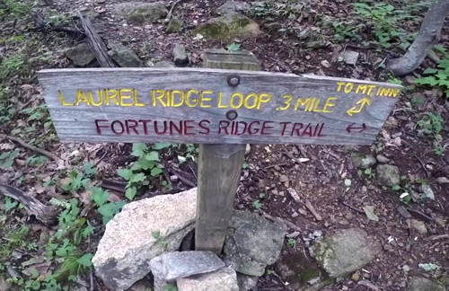
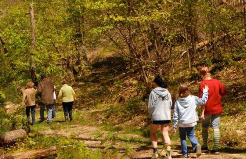
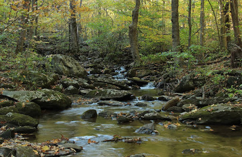
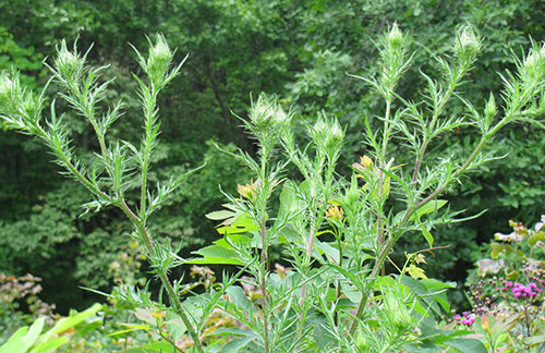
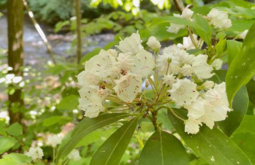
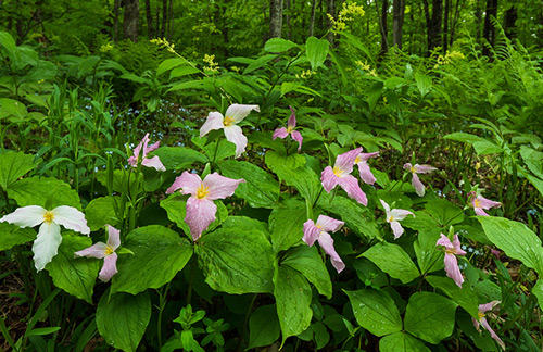
The Nature Foundation at Wintergreen trails can be explored at Wintergreen Resort, and down in the valley is the Rockfish Valley Trail System with many nature-themed trails. Along Route 29, hike the Fortune’s Cove Nature Preserve with moderate to difficult trails through relatively intact forest.
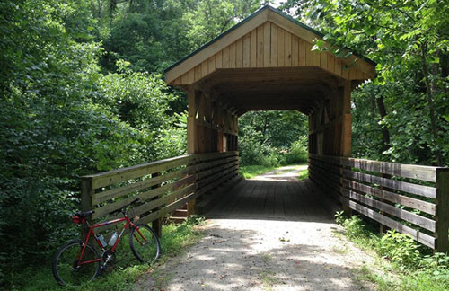
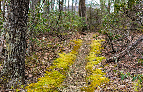
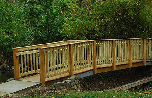
For hiking or biking, there’s the Virginia Blue Ridge Railway Trail in Piney River, with its Kids in the Parks Trail for kids.