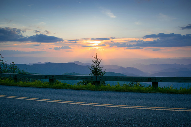
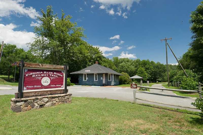
Nelson County offers miles and miles of tranquil country roads winding past meadows and streams. With gentle rolling hills near the James River and challenging terrain in the Blue Ridge Mountains, this rural region has something for all skill levels. For general information about cycling in Nelson County, call Martin Versluys at 434-361-9357.
To obtain a copy of the Bicycling in Virginia Map (VDOT), please visit or contact
NELSON COUNTY VISITORS CENTER
8519 Thomas Nelson Highway
Lovingston VA 22949
434-263-7015
Blue Ridge Parkway Loops
0.0 – R Route 814
0.2 – L Blue Ridge Parkway (scenic overlooks into Shenandoah and Rockfish Valleys)
16.2 – L on exit to reach Route 250 East
16.3 – R Route 250 East (Rockfish Gap Tourist Information, long downhill, country store)
19.1 – R Route 750 (Bike Centennial’s Route 76)
20.9 – R Route 6 in Afton (home of the former legendary Cookie Lady on your right, just across railroad bridge)
Head back up Route 6
22.3 – L Route 250 (watch traffic)
23.5 – R on ramp to Blue Ridge Parkway and Shenandoah National Park
23.6 – L on Blue Ridge Parkway
39.6 – R Route 814
39.8 – Return to Royal Oaks
0.0 – From Milepost 16 Blue Ridge Parkway – cross the Parkway onto Route 814
Right onto Route 56 to North Fork – follow it back to the Parkway
Right onto the Parkway back to milepost 16
Additional Loops
Exit parking area on Route 650 (sharp curve). Turn left
1.5 – R Route 56 The Corner Market, watch traffic!
2.2 – L Route 639
9.5 – L Route 617
19.0 – L Route 623
19.5 – L Route 766 – becomes Route 624
19.6 – L Route 29 Watch traffic, ride single file
21.5 – R Route 718
23.0 – Bear L on Route 651
24.7 – R Route 29 / Route 56 combined. Watch traffic, ride single file
26.9 – L Route 653
28.9 – L Route 710
29.1 – Route 710 becomes Route 650
29.3 – Return to parking area near Oak Ridge Estate
0.4 – R Route 693. Cross Rockfish River
2.9 – L Route 722 at T
4.9 – R Route 602 at T
8.6 – L Route 626 at T (James River, Howardsville, fishing, canoeing, picnicking)
14.3 – L Route 627
17.5 – Cross Route 6 (mini market on Route 6 in Esmont) Continue on Route 627 through Esmont.
19.4 – L Route 715
20.1 – R Route 719 at T
22.0 – L Route 717
22.1 – R Route 630 (Green Creek Road)
28.0 – L Route 6
29.4 – R Route 800
30.8 – R Route 617
31.0 – Return to Museum
24 miles. Begins and ends at Woodson’s Mill on Route 778, just off Route 56 in the Lowesville area.
0.0 – L Route 778. Woodson’s Mill
1.2 – Straight through Route 676
4.7 – L Routes 151/56 at T
5.7 – L Route 56
10.2 – L Route 680. Watch mileage. Disregard first 680 turn.
14.3 – R Route 56. Massies Mill. R almost immediately Route 666.
23.3 – L Route 778 at Lowesville.
Return to Historic Woodson’s Mill

Virginia Blue Ridge Railway Trail
The VIRGINIA BLUE RIDGE RAILWAY TRAIL is open for hiking, biking and horseback riding year round and is 7 miles in length. The main trailhead is in Piney River on SR 151, Patrick Henry Hwy. It has ample parking for cars and horse trailers. A smaller trail head (at milepost 1.7) in Roses Mill on SR 674, Roses Mill Rd can accommodate only cars. Restroom facilities are available at both trail heads. The mainly crushed stone trail follows a scenic route along the Piney and Tye Rivers, where wildflowers bloom from spring through summer and wildlife abounds. The trail dead ends at the 7 mile point, there is no eastern access at Tye River Depot, so you must retrace your steps to your vehicle. During the autumn hunting season, trail users should wear blaze orange clothing. The trail is open sunrise to sunset. The trail occupies the rail bed of the former Virginia Blue Ridge Railway, which ran from Tye River Depot (to interchange with the Southern Railway) to Massies Mill. Construction of the railroad started in 1915 and the line was abandoned in 1980.
3124 Patrick Henry Highway, Piney River, Virginia, 22964
Parking and Trail Access
To access the Piney River trailhead from the Lovingston area, take US 29 to State Route 56 west at Colleen; turn right onto SR 56, and travel 5 miles to turn left onto SR 151. After 2 miles you’ll see the trailhead sign on left (3124 Patrick Henry Highway, Piney River). Parking for cars and horse trailers is available. To access the Roses Mill trailhead from the Lovingston area, take US 29 to SR 56 west at Colleen; turn right onto SR 56 and go about 4 miles to left turn onto Roses Mill Road/SR 674). The trailhead is about 1.4 miles farther (around milepost 1.7 of the trail).
Nelson Scenic Loop
The NELSON SCENIC LOOP is a 50-mile auto and bike tour that features Nelson County’s bounty of natural, cultural, and historic attractions. Comprising Route 151, Route 664, the Blue Ridge Parkway, and Route 56, the Nelson Scenic Loop traverses both the lower foothills of the Piedmont as well as the summits of Virginia’s Blue Ridge Mountains.
HELPFUL LINKS
VIRGINIA BIKING FEDERATION
A statewide organization working to promote cycling in Virginia and to improve conditions for cyclists through education, advocacy, and legislation.
BIKE VIRGINIA
Bike Virginia works to make Virginia great through cycling initiatives such as events, education, working with elected officials, advocacy programs, grants, and consulting. Bike Virginia hosts the annual Bike Virginia Tour, a 6 day cycling festival of 1,600 riders, an adventure that travels around the Commonwealth.
TRAIL LINK
Find the top rated bike trails in Virginia, whether you’re looking for an easy short bike trail or a long bike trail, you’ll find what you’re looking for.
VIRGINIA CYCLING ASSOCIATION
The Virginia Cycling Association is a group of USCF recognized racing clubs in the state of Virginia. The Association promotes the Best All-Round Rider (BAR) competition and promotes the State Championships.