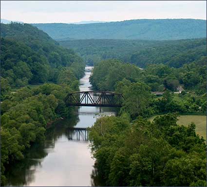
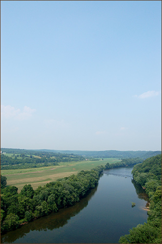
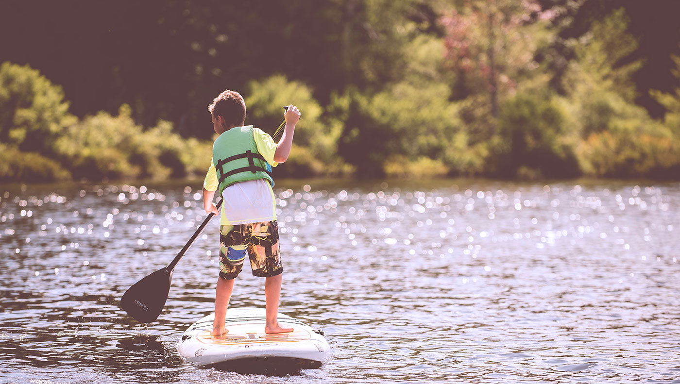
Nelson County offers three river options for enjoying canoeing, kayaking or tubing: the Tye River, the James River and the Rockfish River.
Beginning January 1, 2021, any person using a Department of Wildlife Resources (DWR)-owned or managed facility, including boating access sites, must have a valid Virginia hunting, trapping, or fishing permit, a Restore the Wild membership, an access permit, or current certificate of boat registration issued by DWR to use the facility. This does not apply to persons under the age of 17 or passengers with a permitted operator. The operator must have a permit. Click here for the FAQs from the Virginia Department of Wildlife Resources.
TYE RIVER
With headwaters beginning high in the Blue Ridge Mountains and the George Washington National Forest, the Tye River is one of the most beautiful whitewater streams in Virginia. The river begins at the end of two mountain passes, the North Fork and South Fork, at the foot of a mountain. It travels for about 34 miles through Nelson County, through beautiful scenery, with mountain, valley and pastoral views. The upper section can have strong whitewater for advanced paddlers, and the middle and lower sections, moderate whitewater on a seasonal basis. The rapids are rated Class I to Class II+. Depending upon water conditions, some rapids on the Tye River can approach Class III to IV.
JAMES RIVER
The James River forms the southeastern border of Nelson County, and is the longest and largest of Virginia’s rivers, draining the center of Virginia, from the Appalachian Mountains to the Chesapeake Bay. Important as a transportation center, the canals, railroads, highways, factories, cities and dams show how central the role of the James River was in developing the state of Virginia. Many access points exist for canoeing or kayaking the river. Small boats (such as john boats) can also be used at most access points.
ROCKFISH RIVER (Rt 6)
The Rockfish River is formed in Nelson County, Virginia, by the confluence of its North and South Forks (37°54′13″N 78°49′58″W), both of which rise in the Blue Ridge Mountains near the Blue Ridge Parkway. It flows generally southeastwardly through northern Nelson County; in its lower course the river is used to define the boundary between Nelson and Albemarle counties. It enters the James River from the northwest on the common boundary of the two counties, about 8 miles (13 km) southwest of Scottsville.
 Section 1: Nash (Route 56 & Rt. 687) to Massies Mill (Route 56)
(8.5 mile distance, normally canoeable in the winter, for an average of 15-18 days/yr.
Difficulty 2-4. Excellent scenery. Hazards include a low-water bridge, and several Class 4 rapids on right turns.)
Section 2: Massies Mill (Route 56) to Tye River P.O. (Route 29 & Rt. 739)
(13.5 mile distance, normally canoeable in the winter and early spring, for an average of 55-60 days/yr.
Difficulty 1-2. Very good scenery. Hazards include barbed wire fences across the stream, and a seven-foot dam just below takeout. Takeout on the right bank, downstream of Rt. 29 and ABOVE the seven-foot dam about 200 yards below the bridge. (long uphill carry)
Section 3: Tye River P.O. (Route 29) to James River (Route 626)
(11.5 mile distance, normally canoeable in winter, spring and early summer, for an average of 100-115 days/yr.
Difficulty 1,2,3. Very good scenery. Put-in, at Rt. 29, below the seven-foot dam. Alternatively, get permission to cross private property at Rt.739 bridge crossing for a shorter carry.
Section 4: Headwaters – North Fork Tye River above Nash
(1.5 mile distance, normally canoeable only in winter, following a prolonged wet period, for an average of 5-6 days/yr.
Difficulty 3-4. Very good scenery. Hazards: continuous, strong rapids, with an impassable rapid upstream from the bridge put-in. Rocks and boulders abound, seek full information on this section before attempting.
Information above excerpted from: Virginia Whitewater – A Paddler’s Guide to the Rivers of Virginia by H. Roger Corbett. (copyright 2000)
 Nelson County Access Points
Midway Concrete Ramp (In James River WMA off Rt. 743; Northeast of Wingina)
Wingina Concrete Ramp (Rt. 56, South of Wingina)
James River State Park Boat Ramp and also a Canoe/Livery Landing
James River | Map of James River (Dept. of Game and Inland Fisheries)
Livery Services
Several companies offer livery services for canoeing, kayaking or tubing on the James River, making it easy to get on the water and return you to your original starting point. Call or check their websites for more information.
Howardsville Canoe Livery
292 Logan Road, Scottsville 24590. 434-286-3331
Book a trip for a day on the James, Rockfish or Tye Rivers for yourself, your family or a group. Shuttle service available.
James River Runners LLC – Canoe Livery
10092 Hatton Ferry Rd., Scottsville, VA 24590 434-286-2338
Canoe, kayak and rafting trips (March-October, conditions permitting) Tubing Trips (May-Sept.)
James River Reeling & Rafting
265 Ferry Street, Scottsville, VA 24590 434-286-4386
Canoe, Kayak & Rafting trips /Tubing Trips. Overnight trips available.
James River State Park
751 Park Road, Gladstone, VA 24553
434-933-4355 | 800-933-PARK
Camping, cabins, boat access, hiking trails, fishing
 North Fork: Goodwins Creek to Rockfish River (Rt. 600 and Rt. 6)
(5.5 mile distance, normally canoeable only in the winter, with average canoeable days 10-12/yr.
Difficulty 1-2. Good scenery. Hazards: low-water bridge, underwater bridge, trees and fences blocking the stream/ many portages/liftovers required. Takeout along Rt. 6 or at Rt. 634 bridge which crosses the river.)
South Fork Rockfish River – Elk Hill Baptist Church (Nellysford) to Rockfish River (Rt. 151 to Rt. 6)
(5 mile distance, normally canoeable in the winter, with average canoeable days 12-15/yr.
Difficulty 1-2. Very good scenery, and a pleasant paddle. Hazards: multi-strand barbed wire fences.)
Information above excerpted from: Virginia Whitewater – A Paddler’s Guide to the Rivers of Virginia by H. Roger Corbett. (copyright 2000)
LAKE NELSON
LAKE NELSON is a 40-acre impoundment located in Nelson County, Virginia. This reservoir is owned by the Virginia Department of Game and Inland Fisheries (VDGIF) and is managed primarily for fisheries related activities. Facilities available at this reservoir are a boat ramp, parking area and portable toilets which are available March-September. The lake is open 24 hours a day. Outboard motor use is prohibited but electric motors are permitted.
801 Lake Nelson Lane
Arrington, VA 22922
434-263-7015
DIRECTIONS
Lake Nelson can be accessed from Route 29 near Colleen (Nelson County), then take Route 655 about 2.8 miles to Arrington; go through Arrington, then left on Route 812, go about 2.2 miles and watch for the sign. Turn left and follow the road to the lake.
The Virginia Department of Game and Inland Fisheries (DGIF) requires an Access Permit for visitors to department-owned Wildlife Management Areas (WMAs) and public fishing lakes effective January 1, 2012, who are age 17 and older, unless they possess a valid Virginia hunting, freshwater fishing, or trapping license, or a current Virginia boat registration.
LEGAL DISCLAIMER:
You agree that the use of the information on this website is at your own risk. Information on this site is provided by third parties. The operator of this website or its affiliates do not warrant the accuracy, quality, or noninfringement of the information provided and will not be liable for any claims or damages resulting from use of information obtained on this website. Whitewater paddling is an extremely dangerous sport with a high risk of death and serious injury.
This website is designed to help you easily find the right stretch of whitewater to paddle based on your location and your paddling abilities. It does not have any information on current conditions or safety advisories for the location you select. You need to search for more updated information on the selected stretch of river before you go. Not having the latest information about a paddling area is extremely dangerous and may cause death or serious injury.


